Distance: 6,1 km
walk
Duration: 1h
Difficulty : Very easy
Departure: TALAIS
Campaigns
TALAIS
On the banks of the Gironde estuary, a hiking route rich in remarkable natural heritage that gives you the opportunity to discover the Talais marshes and its oyster port. How about a little oyster tasting?
Along your walk, you can also discover the mattes, these cultivated lands which are located below the level of the highest tides.
Along your walk, you can also discover the mattes, these cultivated lands which are located below the level of the highest tides.
Your itinerary
1
From the town of Talais to the port
Leave the car in the car park located behind the church. At the corner of the large bourgeois house, take the road to Loumenade. 250m to the right in the meadow are the remains of a tumulus probably from Neolithic origin known as the "Motte du Castéra". Cross the intersection then take the stony pass of the Château 200m to the left. Walk 200m then take the pump passage to the right for 250m to the intersection. At the intersection, then 100m further on, turn right into Chemin du Désert along the cycle path for 1km. Cross the Talais Soulac road towards the port, following the cycle path for 800m to the Port Museum.
2
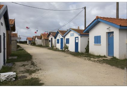
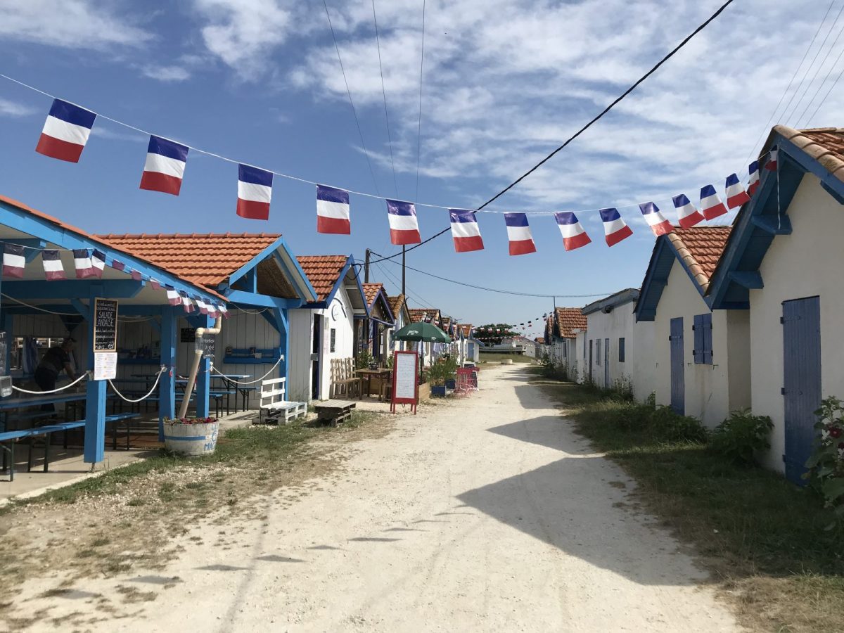
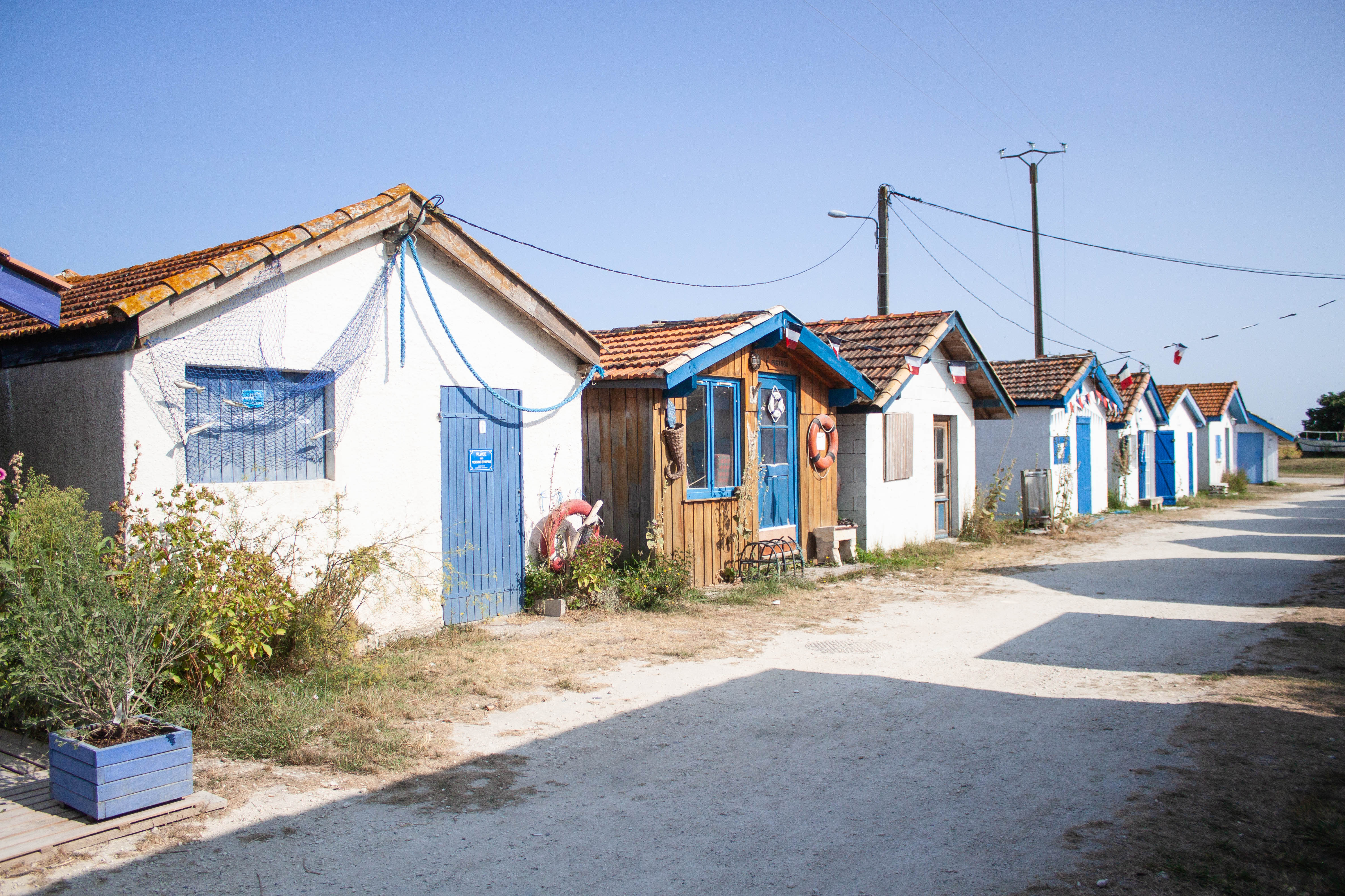
At the port of Talais
At the port, in season, a picnic break can be made (catering at the guinguette). Built by fishermen to exploit an old Portuguese oyster deposit, this port knew in the past a strong activity that the 1970s saw decrease and go out. The development of the banks of the access channel to the estuary as well as the renovation of the huts make it possible to decorate this site open to visitors. In fine weather, it is possible to eat there and why not to taste oysters from the producer.
3
From the port to the Baluards marshes
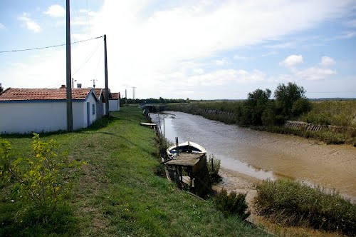
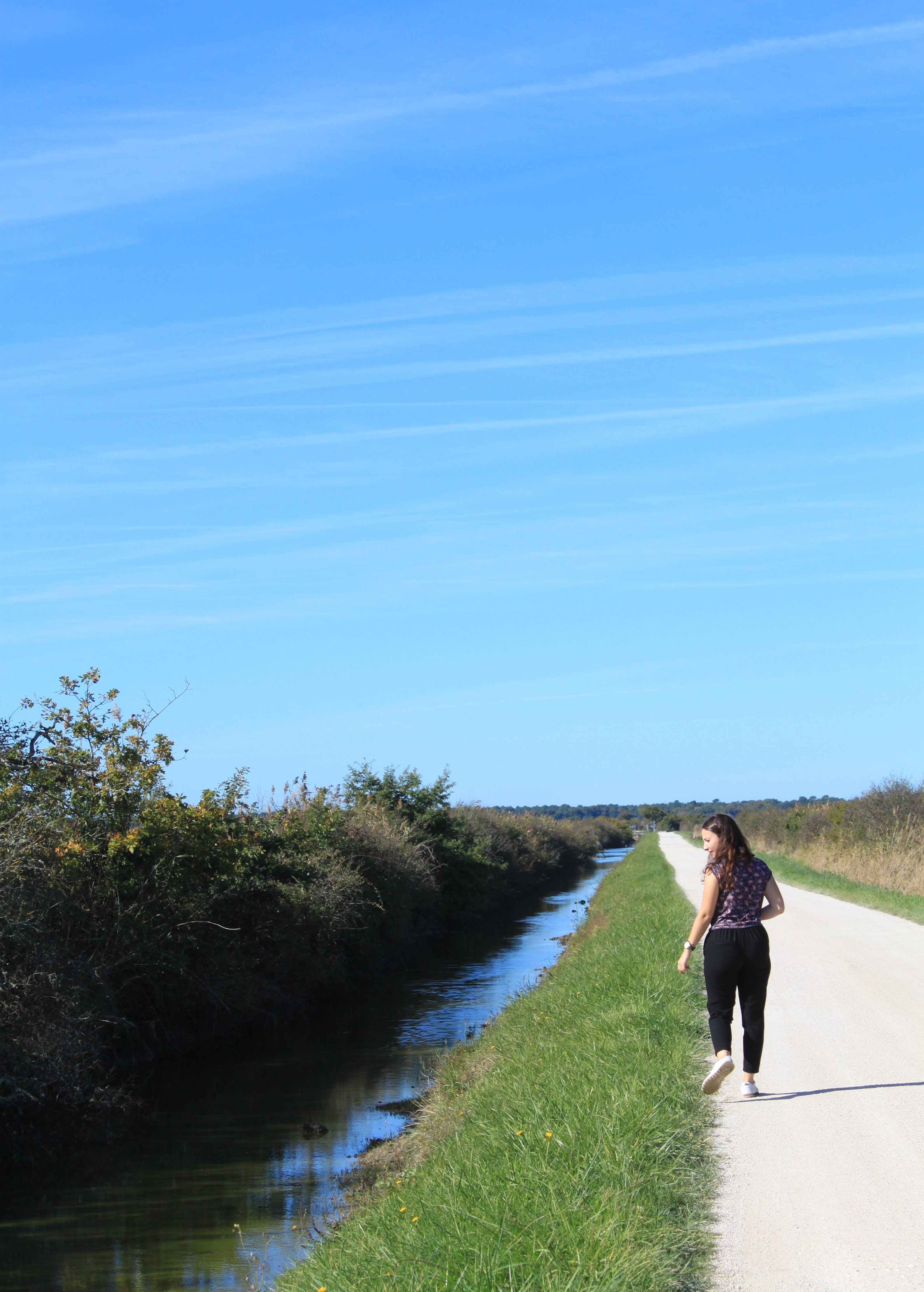
The port is served by a cycle path leading to the Baluards oyster marsh as well as to the dyke along the estuary. An observation point has been set up there. However, the footpath does not follow the track! Bordered by a dyke protecting the mattes from the risk of submersion, the estuary is bordered by mudflats sometimes revealing a small beach at low tide. In the past, it was a popular fishing spot as the fish were abundant there. Capture systems called gords were placed there across the shore. They gave way to the squares that can be seen today. The view offered by the bank allows you to see the opposite bank with from left to right Royan, Vallières, Meschers, Suzac, Talmont... An orientation table is available on the belvedere at the entrance to the site.

4
Back to the church
From the Museum, go straight on the Castillonnaise pass (on the paved road) for 1.3km along the mattes (cereal land). At the intersection, turn right on the Cheyzin road for 1,1km, then again right on the chemin des prés du Bourg. Continue this road following the bend straight onto Route des Pargaux. After 300m, take rue du 19 mars 1962 on your right and follow it until you return to the church.
Points of interest

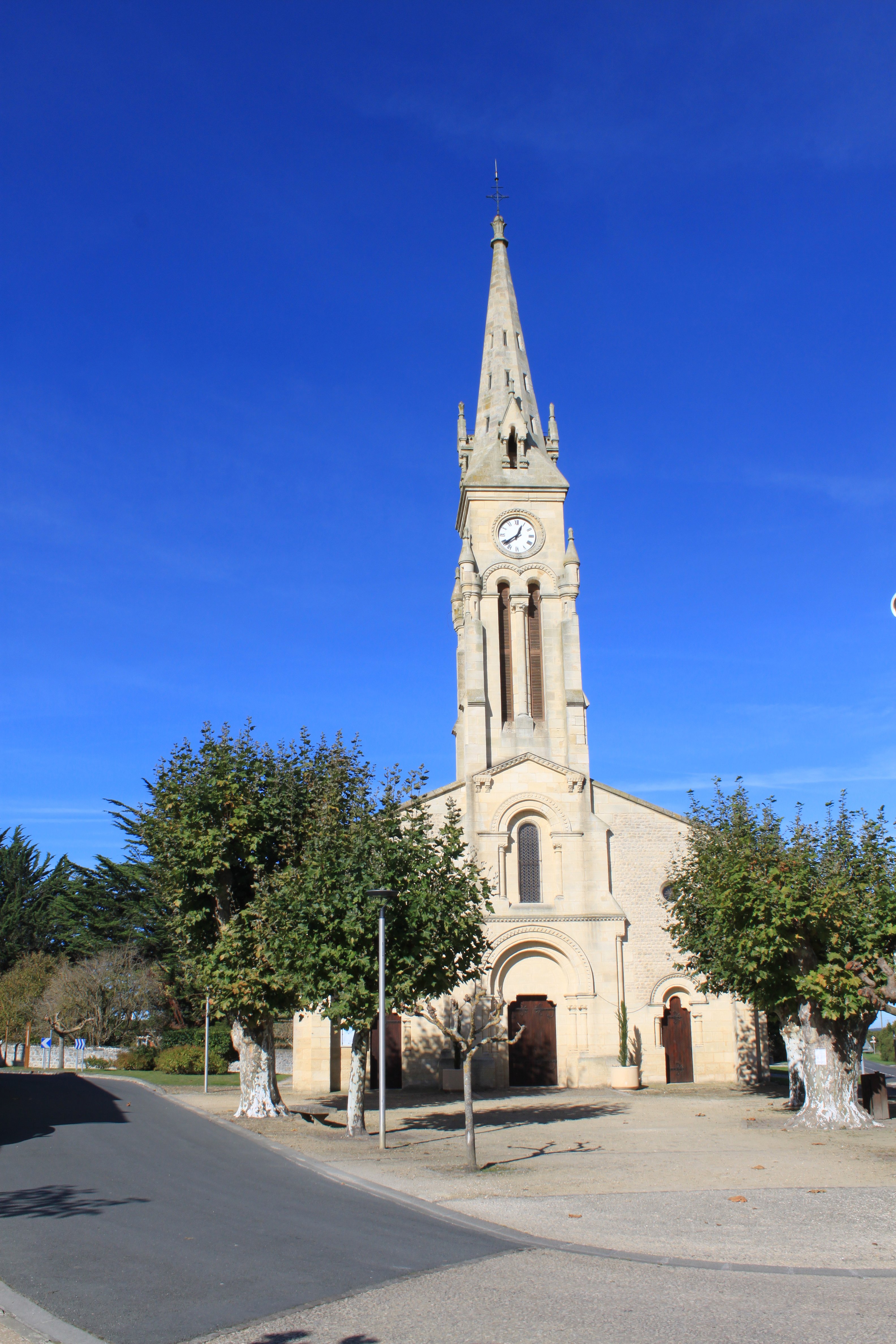
St Martin's Church
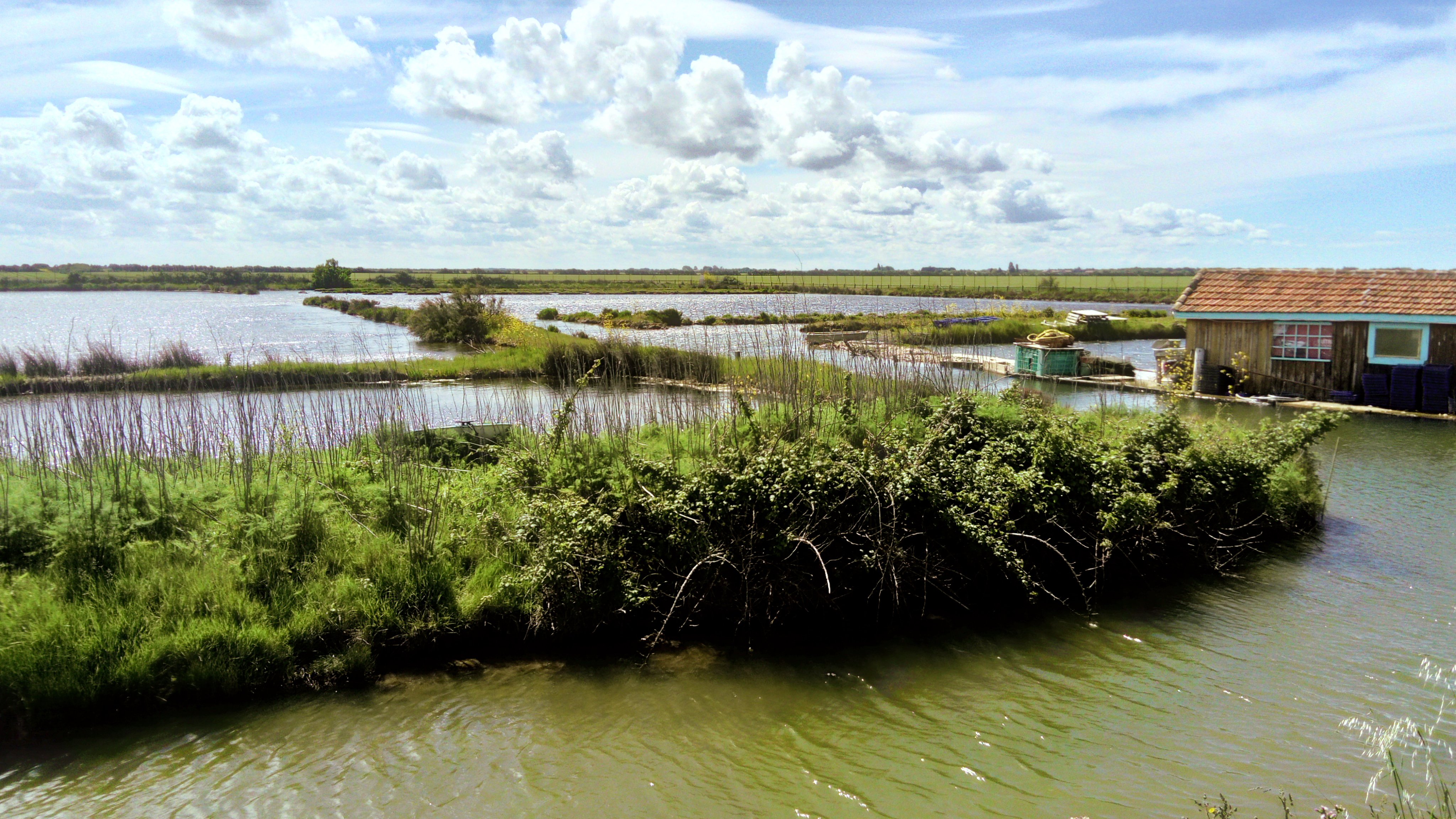
The oyster marsh
The Mattes