Distance: 13,2 km
walk
Duration: 3h
Difficulty : Very easy
Departure: TALAIS
TALAIS
A hiking route rich in remarkable natural heritage, which gives the opportunity to discover the marsh and the oyster port of this small village of Talais. Starting from the village church, passing through the mattes you will reach this former oyster port lined with atypical cabins. For the bravest, the ride extends to the estuary...
Your itinerary
1
From the city center to the port of Talais
Leave the car in the car park located behind the church. At the corner of the large bourgeois house, take the road to Loumenade. 250m to the right in the meadow are the remains of a tumulus probably from Neolithic origin known as the "Motte du Castéra". Cross the intersection then take the stony pass of the Château 200m to the left. Walk 200m then take the pump passage to the right for 250m to the intersection. on the left for 150m the chemin du Désert then on the left the rue Jean de l'Ouille for 150m. Turn right on the rue de long Régat then walk straight for 925m and take the communal pass of Vigneau. Cross the intersection with the D101 E3 (Grayan road), go straight on the Cousteyre pass to the end for 1675 meters. Turn right along the D1E4, Saint Vivien road then walk for 300m. Cross the D1E4 and take the communal pass on the left on 850m then turn left for 300m to Route des Cabireau x. Walk along the road for 625m and take the Prés du Moine pass to the right for 550m. Continue on this pass, turning left for 1km to the Castillonnaise pass, road from the port of Talais to Saint Vivien. Turn left for 450m and walk straight to the port along the mattes for about 2000m.
2
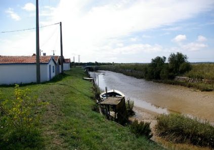
From the port to the Baluard marshes
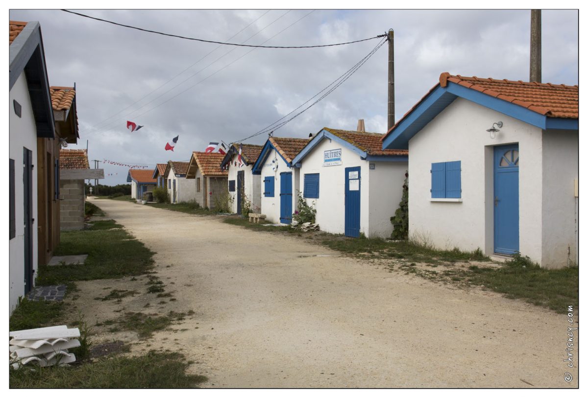
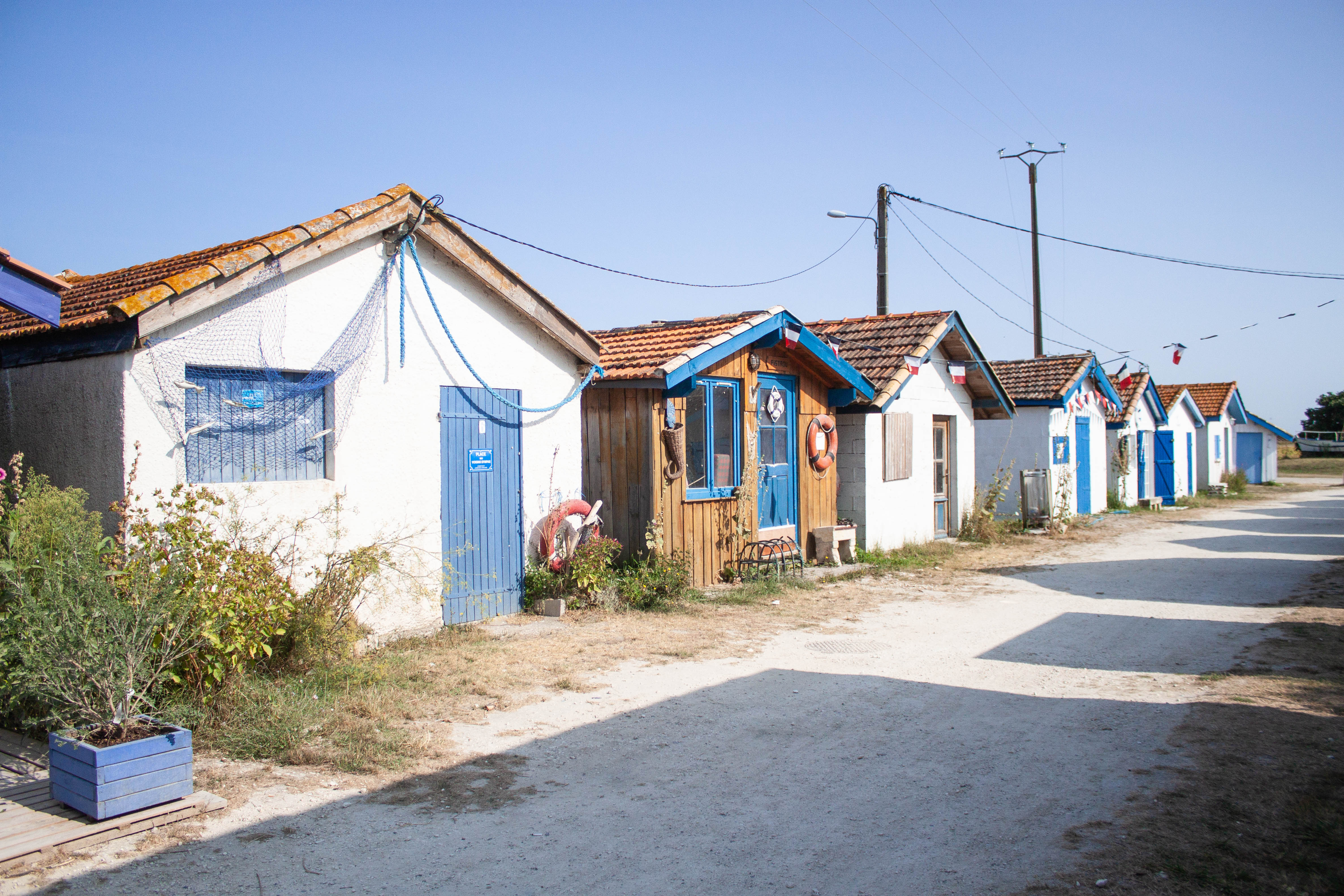
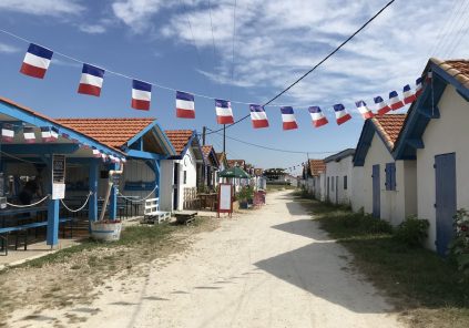
Arrived at the port of Talais, cross it to the left to take the cycle path for 800m towards the D1E4. At the port, in season, a picnic break can be made (catering at the guinguette). The port is served by a cycle path leading to the Baluards oyster marsh as well as to the dike along the estuary. Built by fishermen to exploit an old Portuguese oyster deposit, this port knew in the past, a strong activity that the 1970s saw a decrease and an end. The development of the banks of the access channel to the estuary as well as the renovation of the huts have made it possible to decorate this site open to visitors. In fine weather, it is possible to eat there and why not taste oysters from the producer.
3
The Baluard marsh
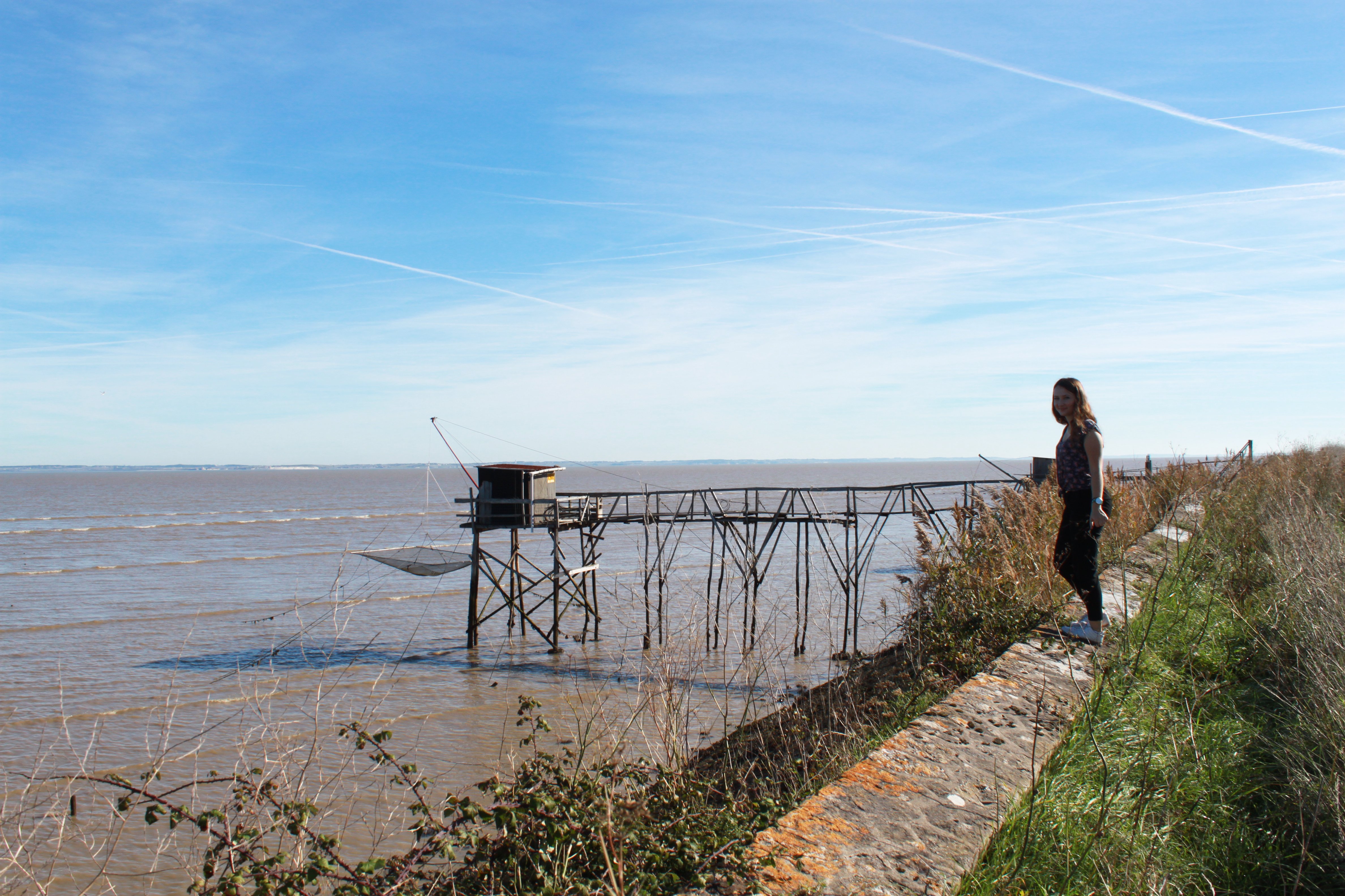
At the Baluard marsh, an observation point has been set up there. However, the footpath does not take the track! Cross the D1E4 then continue the cycle track for 1000m. Turn left on the road for 100m to the intersection. from the pump as one way for 1000m to the car park.
4
Mattes
On the way back around you the mattes. These cereal-growing lands are located below the level of the highest tides. This is why the maintenance of the dykes is essential for their preservation. Thus these lands emerged in the XNUMXth century thanks to the techniques of the Dutch engineers called upon, are managed by a syndicate of owners, one of whose primary missions is to ensure the proper functioning of the hydraulic network. This syndicate saw its statutes deposited by royal order in the XNUMXth century.
Points of interest
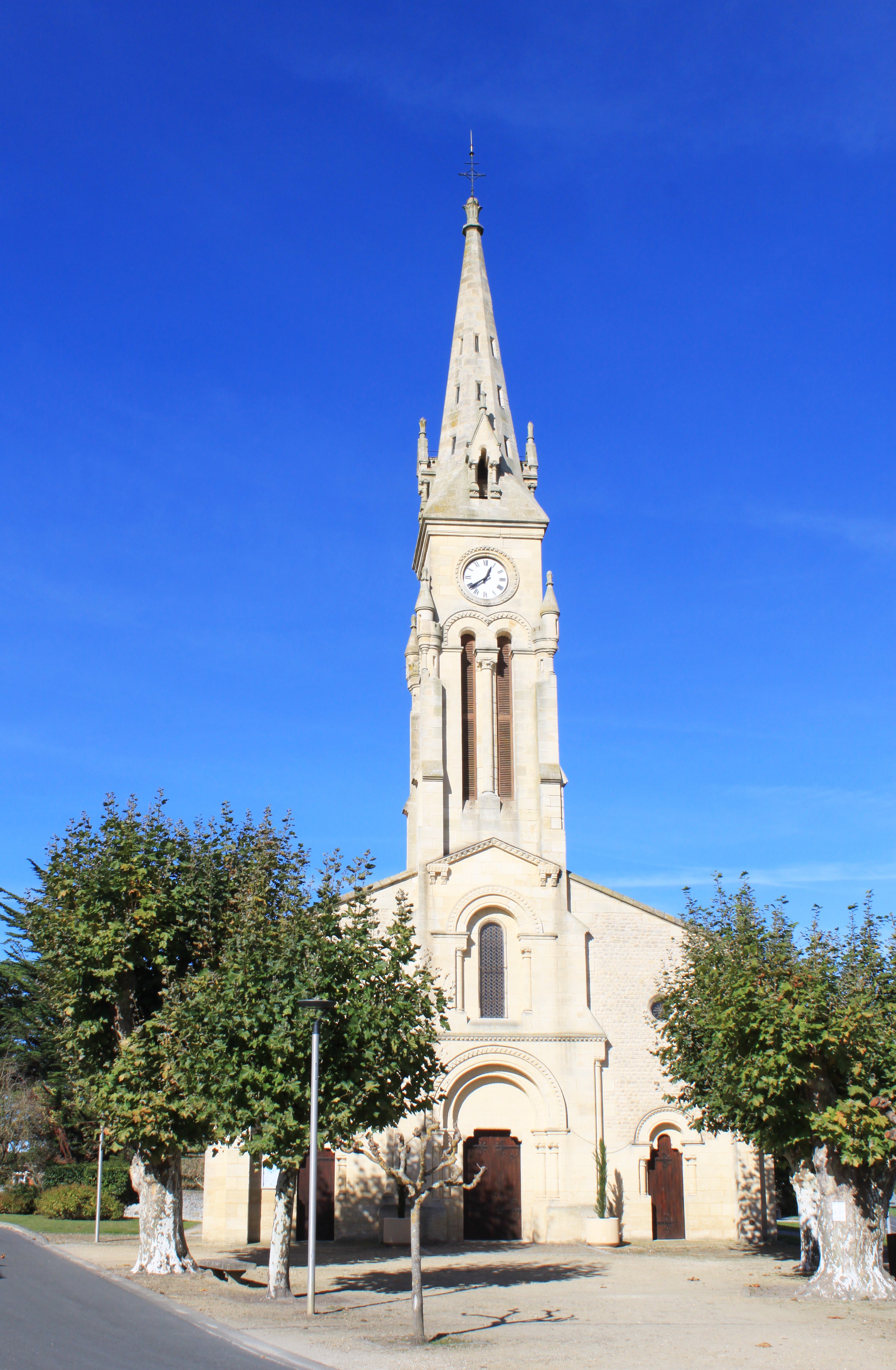
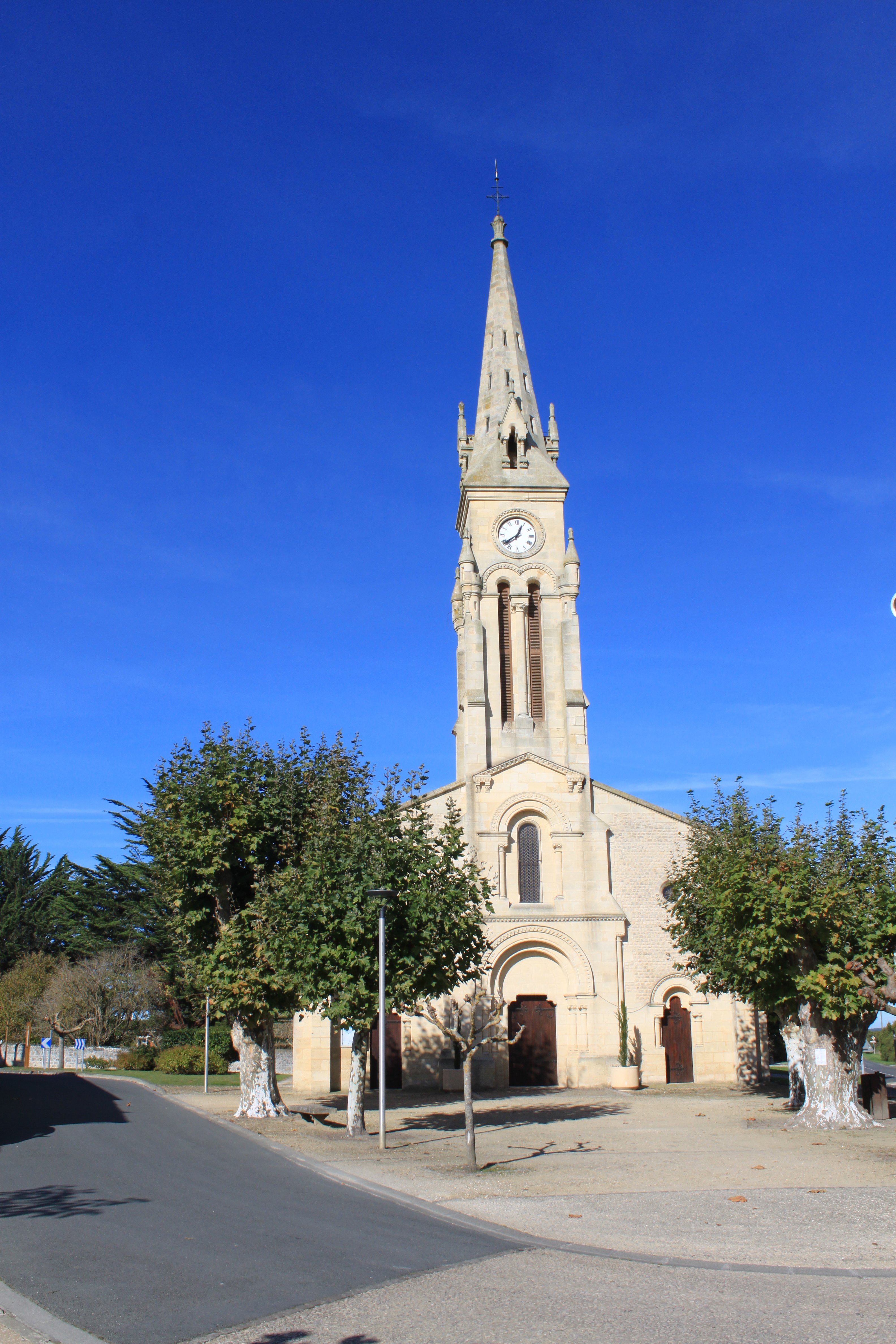
St Martin's Church
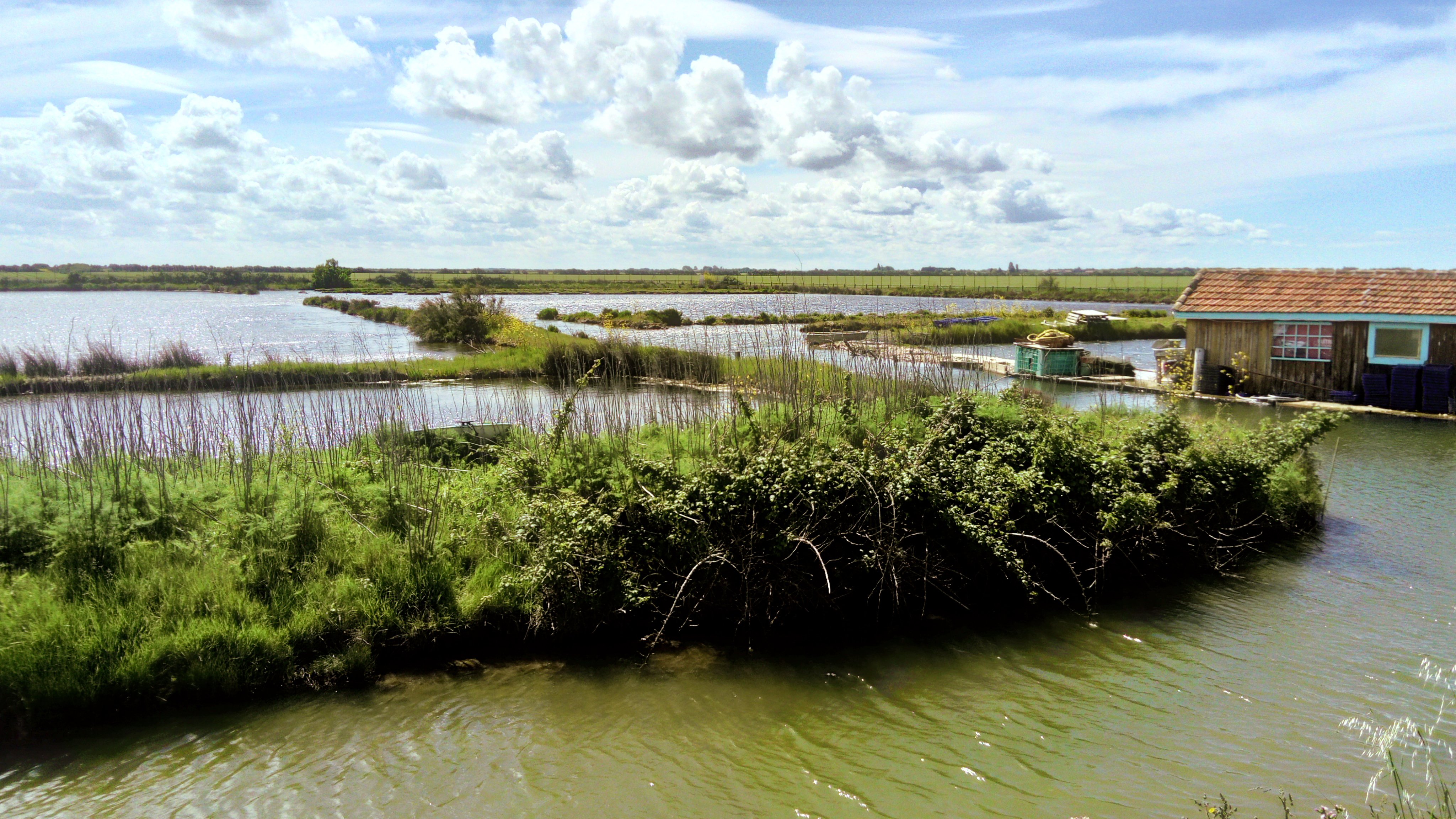
The oyster marsh
2