Distance: 19 km
by bike
Duration: 1:30
Difficulty : Average
Departure: SAINT-EMILION
Campaigns
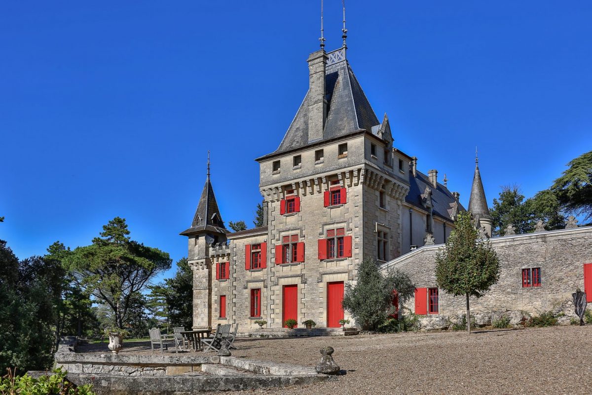
SAINT EMILION
Discover the vineyards and the heritage of St-Emilion. On this 19 km course, slightly hilly, you will admire many castles and churches with remarkable architecture and enjoy beautiful views of the Jurisdiction of Saint-Emilion.
Your itinerary
1
Step 1
From the Tourist Office, go past the Maison du Vin and the church, then turn right.
2
Step 2
At the roundabout, continue straight on towards St-Christophe.
3
Step 3
Follow the first indications "Saint-Emilion Sud" by turning right on the D243E1. Pass in front of Ch. La Couspaude (on your left).
4
Step 4
Leave "Saint-Emilion Sud" on the right and continue on the D243, keeping to the right at the crossroads. Walk along Ch. Trottevieille.
5
Step 5
At the “Haut-Sarpe” sign, turn left. Go past the mill and cross Ch. Haut-Sarpe.
6
Step 6
Turn right to return to the D243, then left, at Cédez-le-Passage towards St-Christophe. Go past Ch. des Laudes and Ch. Panet. In the village, go to the roundabout.
7
Step 7
Just before the St-Christophe roundabout, turn right towards the town hall.
8
Step 8
Continue straight until the crossroads at Ch. Lapelletrie. Turn left towards Ch. Laroque.
9
Step 9
Pass in front of Ch. Laroque, then continue straight to the stop sign.
10
Step 10
At the stop sign, turn right onto the D243E2.
11
Step 11
In the descent, turn left towards the church of St-Hippolyte.
12
Step 12
Turn right immediately towards Ch. de Ferrand. Continue straight until the next houses.
13
Step 13
Just before the church of St-Hippolyte, take the path on the right just after the last house to see the Caves of Ferrand. Otherwise, continue straight ahead and turn left towards St Christophe des Bardes.
14
Step 14
Just before the church of St-Hippolyte, take the path on the right just after the last house to see the Caves of Ferrand. Otherwise, continue straight ahead and turn left towards St Christophe des Bardes.
15
Step 15
Facing the house after the church, turn left towards St-Christophe. At Ch. Destieux, continue straight to the stop sign at Ch. Boutisse.
16
Step 16
Facing the house after the church, turn left towards St-Christophe. At Ch. Destieux, continue straight to the stop sign at Ch. Boutisse.
17
Step 17
At the stop sign, take the D243 to the right. Continue straight and follow the direction of St Genès de Castllion and Ch. Valandraud.
18
Step 18
Go down to the road to St-Etienne and climb opposite towards St-Genès and Ch. Haut-Veyrac.
19
Step 19
Just after Ch. Valandraud (on the left), turn right at the bus stop and follow the direction of Ch. de Pressac.
20
Step 20
Pass in front of Ch. de Pressac (on the right) and continue down.
21
Step 21
Pass in front of the modern cellar of Ch. Faugères and continue your descent.
22
Step 22
At the intersection at the bottom of the descent, turn right and go to the give way which joins the D130.
23
Step 23
At the give way, turn right on the D130 towards Ch. Haut Rocher and continue straight ahead to reach St-Etienne-de-Lisse.
24
Step 24
Pass in front of Ch. La Rose Monturon (on the left) and the church of St. Etienne de Lisse (on the right). At the crossroads, at the level of the cross, keep heading left on the D245.
25
Step 25
Cross St-Laurent-des-Combes towards Saint-Emilion and continue on the D245 passing near Ch. de Candale (restaurant L'Atelier de Candale).
26
Step 26
Pass in front of Ch. Pavie (on the right) and continue straight to La Gaffelière.
27
Step 27
At Ch. La Gaffelière, turn right to go up towards Saint-Emilion.
28
Step 28
Continue and go up rue Guadet, the main cobbled street.
29
Arrival at the tourist office
Almost at the top of rue Guadet, turn left on rue du Clocher to the Tourist Office.