Distance: 6,5 km
walk
Duration: 1h
Difficulty : Easy-to-use
Elevation: 40 D +
Departure: SAINT-MORILLON
Around water (canal, stream, lake, marsh, ...)
SAINT MORILLON
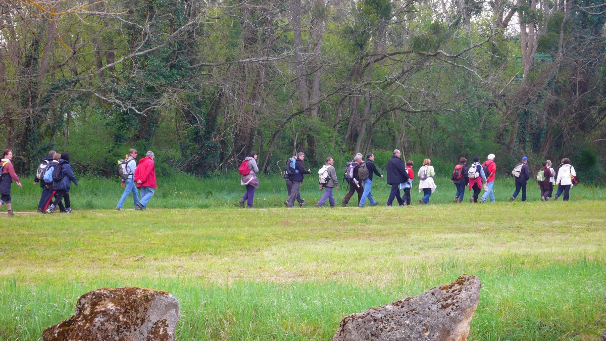
This first 6,5 km local hiking loop, inaugurated on May 14, 2017 during the town's spring festival, mainly takes rural paths (CR).
It allows the walker to rise about forty meters and cross various landscapes. At the highest points it will be in what was once an area of maintained moorland for sheep. At the lowest points, he will feel the freshness of the Gât-mort valley and the originality of its habitats. As an informed walker, he will perceive and note the environmental changes along the ascent as well as the descent, before returning to his starting point: the place of the Church in the center of the village of Saint-Morillon.
It allows the walker to rise about forty meters and cross various landscapes. At the highest points it will be in what was once an area of maintained moorland for sheep. At the lowest points, he will feel the freshness of the Gât-mort valley and the originality of its habitats. As an informed walker, he will perceive and note the environmental changes along the ascent as well as the descent, before returning to his starting point: the place of the Church in the center of the village of Saint-Morillon.
Your itinerary
1
Depart
Step not located on the map
Facing Saint-Maurille Church in Saint-Morillon, follow the road that runs along it to the left.
2
Step 2
Step not located on the map
Continue straight on the path. The road gives way to the path: you follow the rural road CR n°72 called "from the village of Saint-Morillon to Lagraulet".
3
Step 3
Step not located on the map
Turn right on the track. You follow the rural road CR n°77 called "de Castelnau-de-Cernès", old road from Castelnau-de-Cernès to Castres-Gironde, taken up on the DFCI track called "de Jonquey".
4
Step 4
Step not located on the map
Take the path that goes to the right of the track (after 330 m) You follow the rural road CR n°78 called "des Tuilières".
5
Step 5
Step not located on the map
Turn left on the roadYou make a short passage on the municipal road VC n°2, called "route de Saint-Michel-de-Rieufret".
6
Step 6
Step not located on the map
Turn right on the path (after 60 m) You follow the rural road CR n°80 called "Donkeys" (wrongly in this place).
7
Step 7
Step not located on the map
Turn right on the trackYou follow the rural road CR n°81 called "from Nougueyragut to Darriet". trim faults near).
8
Step 8
Step not located on the map
Continue straight on the road. The track gives way to the road, known as the "Route de Darriet".
9
Step 9
Step not located on the map
Turn right on the roadYou follow the municipal road VC n°5, called "route du Stade".
10
Step 10
Step not located on the map
Take the path that goes to the left of the road (after 180 m) You follow the rural road CR n°63 called "hollow path". It is part of the old "Marchand path" from Villagrains to Castres-Gironde.
11
Step 11
Step not located on the map
Continue straight on the path You follow the rural road CR n°55 called "from the Moulin de Lusié to the village of Saint-Morillon". It is another element of the "Marchand road" from Villagrains to Castres-Gironde.
12
Step 12
Step not located on the map
Continue straight on the road. The path gives way to the road, called "Chemin de Lusié".
13
Step 13
Step not located on the map
Turn right on the roadYou follow the street of May 8, 1945 (meeting area) to the place of the Church.